| Ethiopia:
Abyssinia Adventure - Hwy 3 Mengistiwo Plateau Bicycle Africa / Ibike Tours |
|||
 |
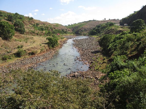
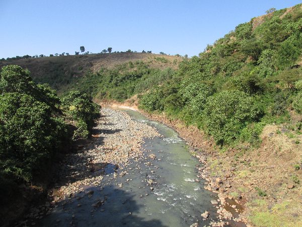
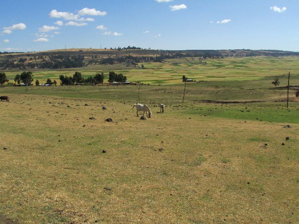
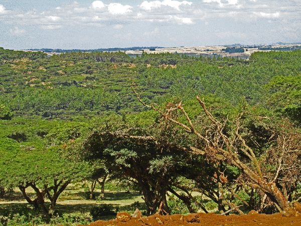
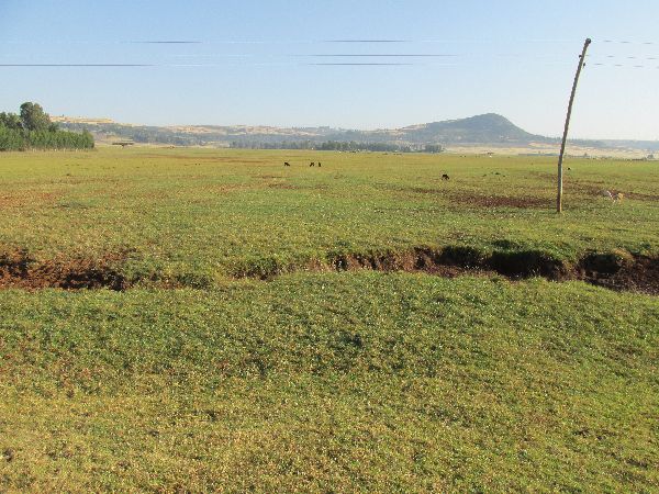
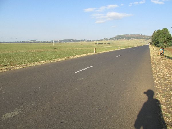
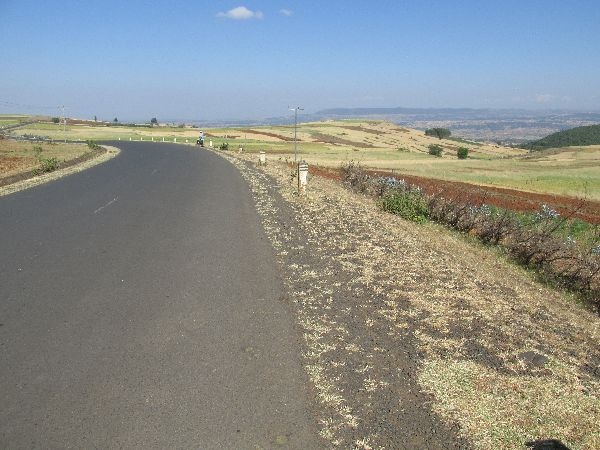
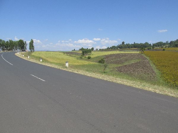
The plateau along the Mengistiwo mountains stretches for over 160km (100 miles) from Dejen to near Bure. It is bounded to the south by the Nile gorge. Elevations at the east end of the plateau are over 2400m and at the west end it is closer to 2000m. There are long relatively flat sections, but it is also cut by some rivers that create some mini gorges. |
||
|
|
|||
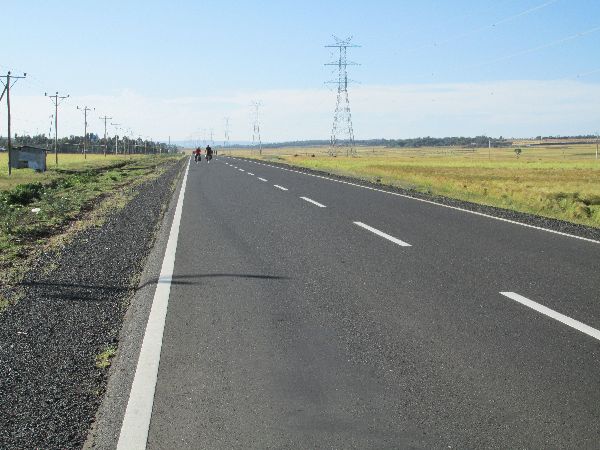 |
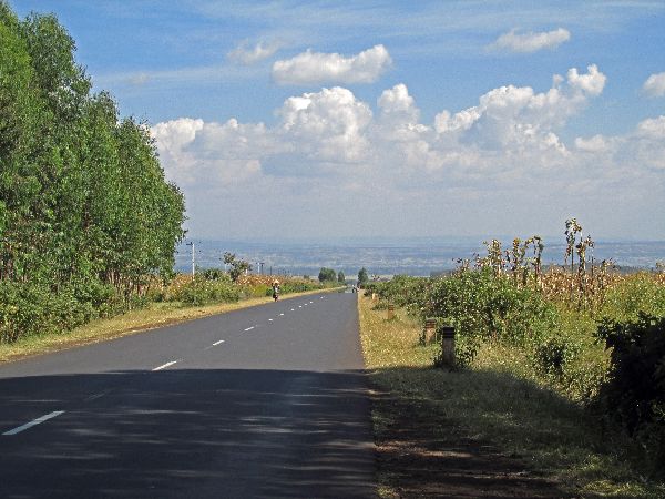
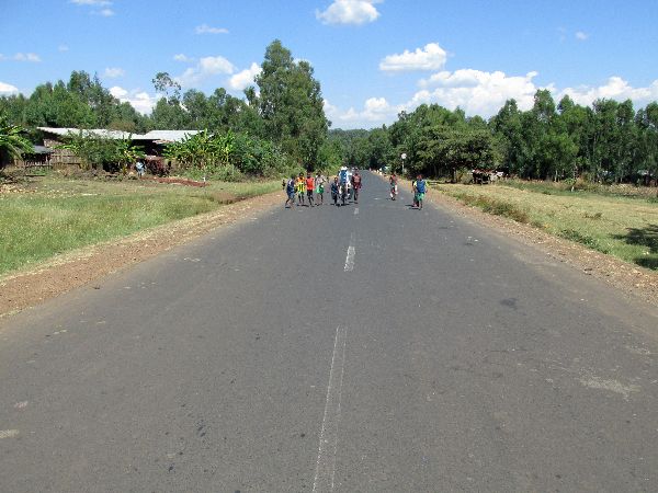
 The
warm-up for the day is a long flat stretch with pleasantly cool, fresh
air and no wind. What a way to see a county. What a country to see.
Sometimes there was a benign incline to the grade of the road and other
stretches were more flat than descending. The only thing that was dramatic
was the scenery. It was most striking in its vastness and tranquility. It
is hard to overstate the serenity of the experience. The
clear blue sky fortified the beauty and bliss. The
warm-up for the day is a long flat stretch with pleasantly cool, fresh
air and no wind. What a way to see a county. What a country to see.
Sometimes there was a benign incline to the grade of the road and other
stretches were more flat than descending. The only thing that was dramatic
was the scenery. It was most striking in its vastness and tranquility. It
is hard to overstate the serenity of the experience. The
clear blue sky fortified the beauty and bliss. |
 |
|
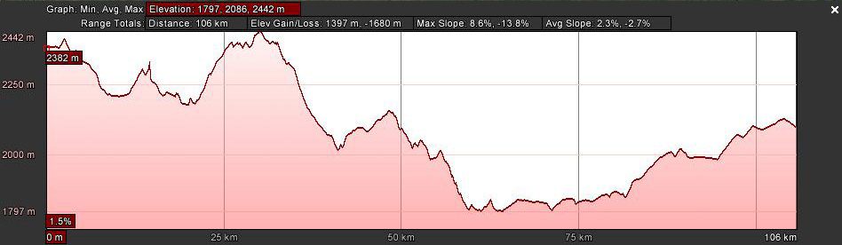
 [Graphs are built with incomplete data and are only general representations of the topography.] Something is amiss with the graph that Google Earth
produces for the 70km between Dejen and Debre Markos. The graph is much more
ragged than reality. It should be noted that fifty percent of the ride was within
a 50m
elevation range, and the three big climbs were only about 150m each. The ride
itself seemed far less up and down than is shown on from the graph. |
|||
|
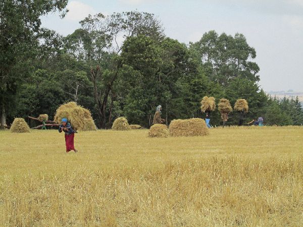
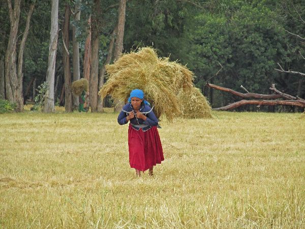
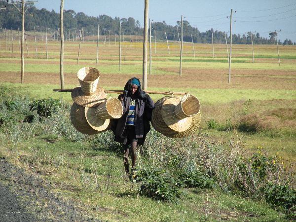
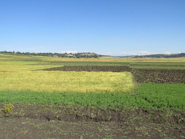
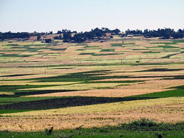
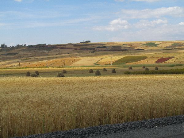
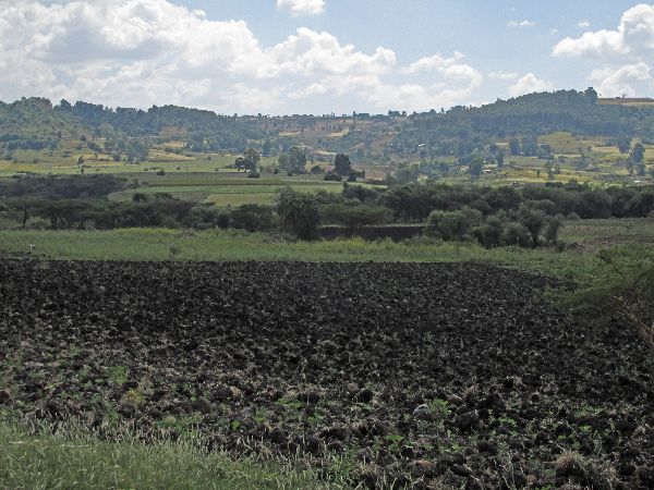
Mile after mile of fields
are
planted with teff, the main ingredient in injera, the staple sour-dough, pancake-like,
flatbread,
tortilla, chapatti of Ethiopian cuisine.
Teff (Eragrostis tef) is believed to have originated in Ethiopia between 4000 BC
and 1000 BC. It is an annual, fine native grass with a soft looking
top that contains very small seeds. It is a species of
lovegrass.
The word "teff" is connected by folk etymology to the Ethio-Semitic root "ṭff",
which means "lost" (because of the small size of the grain, which can
easily get lost). The grain is so tiny that a small bag of it can contain enough
seed to plant a huge field. Conversely it takes a relatively large area to
produce enough seed to feed a person for a year. Teff has an attractive nutritional profile, being high in
dietary fiber and iron and providing protein and calcium. It is similar
to millet and quinoa in cooking, but since the seed is so small so it cooks
faster, thus using less fuel.
It has adapted to
environments ranging from drought stressed to waterlogged soil conditions.
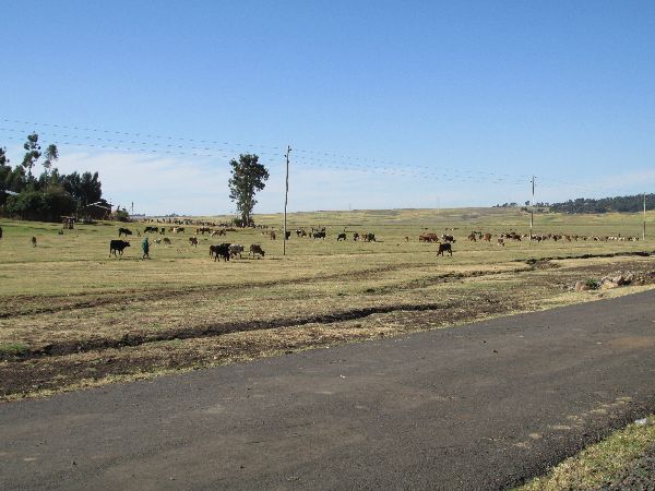
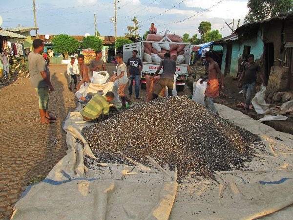
The literature states that maximum teff production occurs at altitudes of 1800 to 2100 m, but this entire entire area is above 2300m. We would see other grains produced at the lower elevations. After the teff and wheat are harvested it seems that most of it is carried off the farm by head, while donkeys graze near-by (There is always the chance that the donkeys belong to someone else.) The work is done by both men and women. |
|
|
 |
 |
 |
|
 |
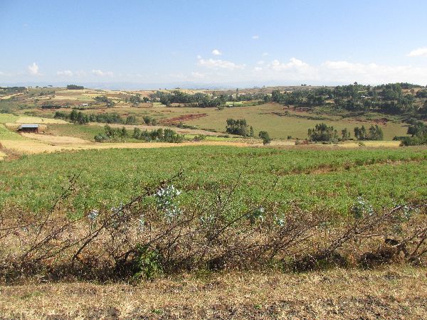
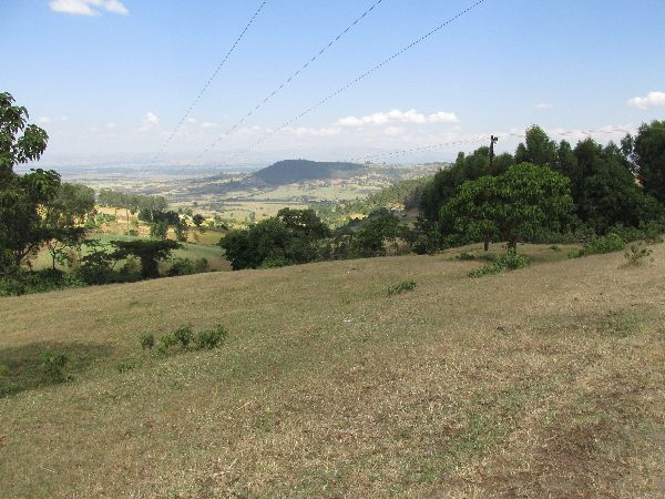
 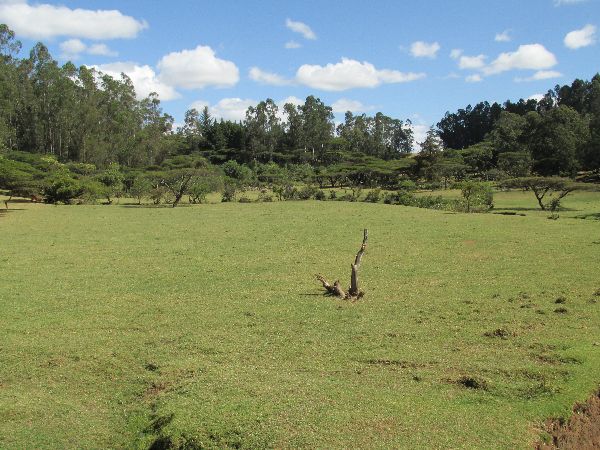  After
the initial flat section the road and topography becomes more rolling
and the vegetation more varied. The road traversed hillsides, swooped
through a broad valley, cut through evergreen forests and popped into a some pocket
meadows tucked into the hills. Because of the topography,
colors, textures and visual subjects, this was the best scenery so far. After
the initial flat section the road and topography becomes more rolling
and the vegetation more varied. The road traversed hillsides, swooped
through a broad valley, cut through evergreen forests and popped into a some pocket
meadows tucked into the hills. Because of the topography,
colors, textures and visual subjects, this was the best scenery so far. |
 |
|
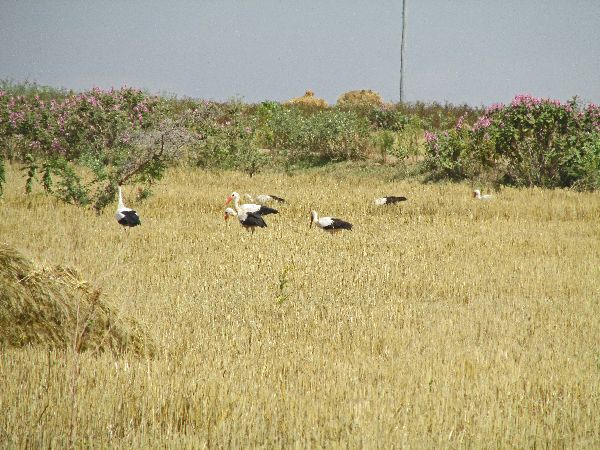 |
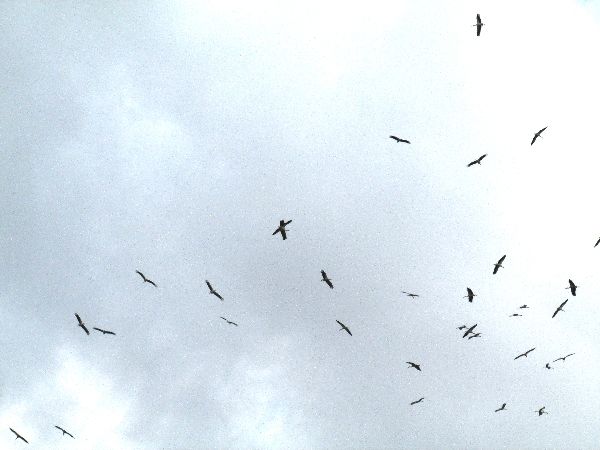
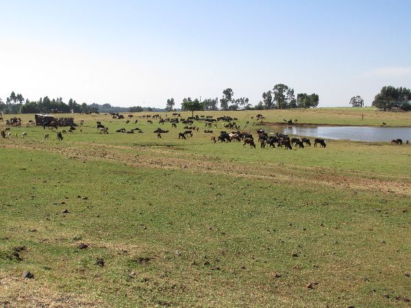
There were a lot of cranes both on the ground foraging and in the sky gliding. |
 |
|
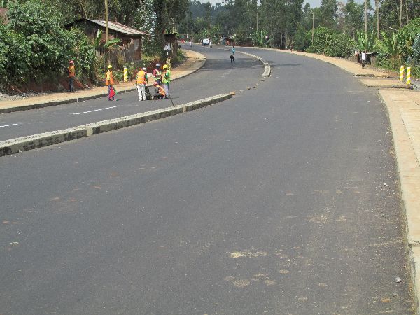 |
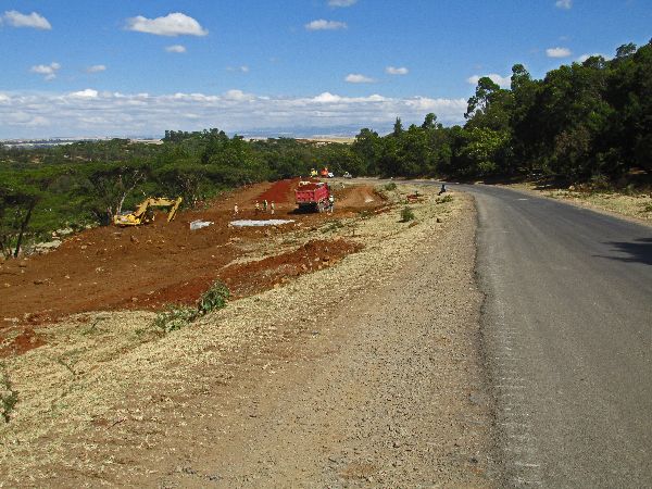
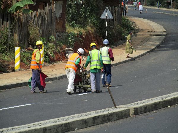
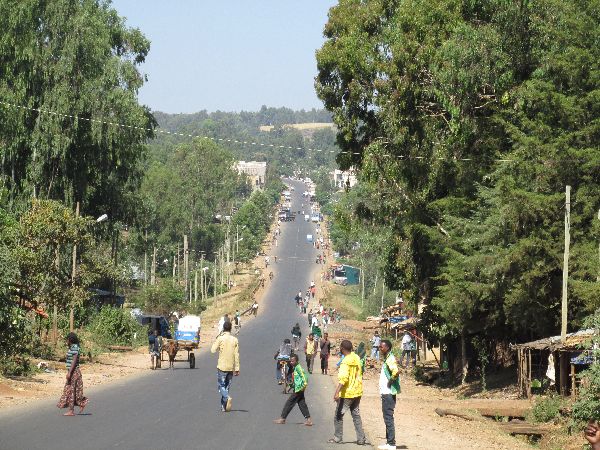
Like many larger towns in Ethiopia, Debre Marcos is getter a new look. What was a two-lane road, with ragged edges and a heavy mix of car, truck, tuk tuk and donkey cart traffic in 2014, has been transformed into a four-lane divided boulevard. Crews are still working on the final elements of the new road. When we passed in December 2015, a paint crew was applying the lane striping. |
 |
|
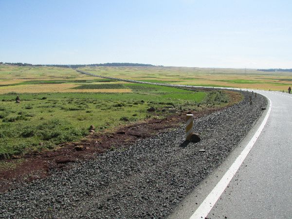
| The next one hundred kilometers (shown on the graph below) started with some rolling country that was followed by 30km of pretty gentile descent -- not so much of the brake burner as the Nile Gorge. | |||
 |
 [Graphs are built with incomplete data and are only general representations of the topography.] |
 |
|
 |
 |
 |
|
 |
Even before we dropped
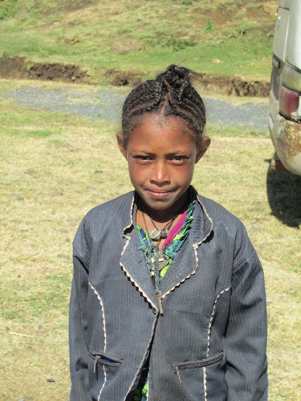
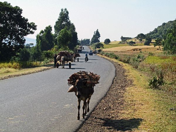
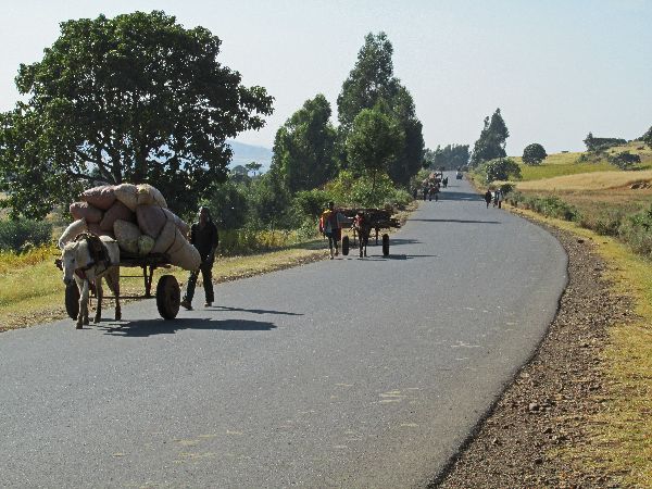
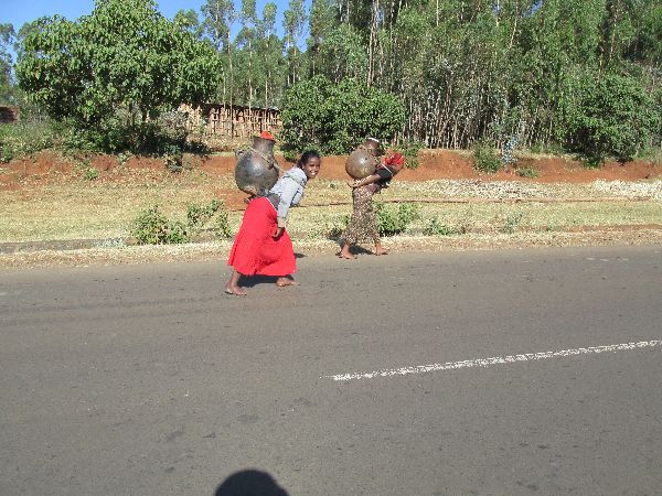
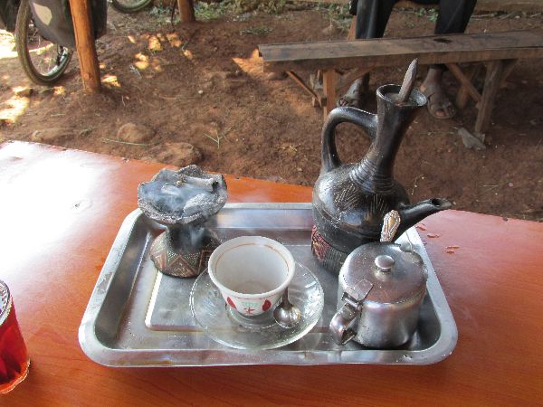
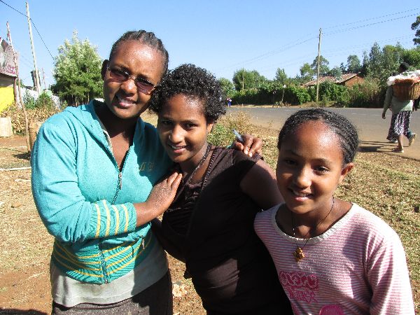
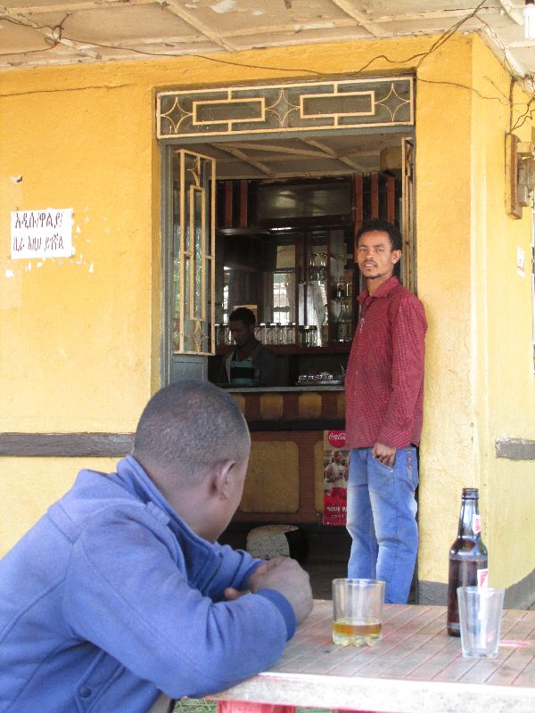
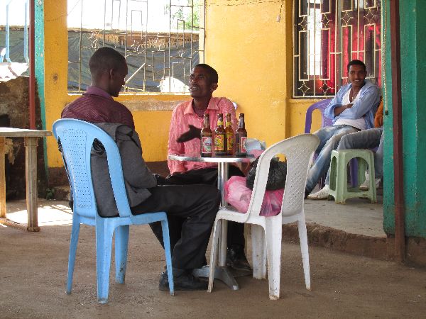
below 2000m the predominant grain under cultivation changed to wheat. As we approached Amanuel, there was a line of carts and pack animals hauling poles, charcoal, hay, corn stacks and fire wood into town. In the line were two young women back-carrying huge jugs, presumably filled with water. They looked heavy enough to be back-breaking, even when empty. I can't imagine how heavy they would be full. For our needs, Amanuel was the perfect location for a coffee stop, which it had. Despite the rustic decor, the beverage was brought on a silver platter and served from a traditional slender-necked jebena (coffee pot). Like other stops, it provided an opportunity to meet and chat with people.
This was a noticeably friendly section of road, including the girls around the
coffee shop who seemed to be have fun serving us -- the unusual visitors --
before they headed off to school. |
 |
|
|
|
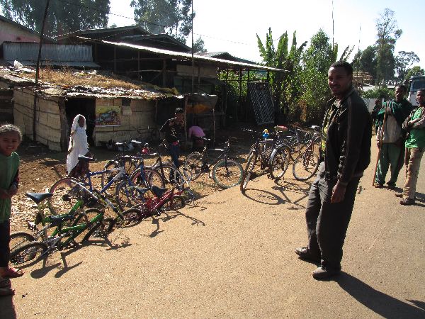
Among a full variety of businesses in Amanuel were some bike rental shops (left). I couldn't learn whether the primary motivation for the rentals were recreational or utilitarian travel. One explanation for the large number of poles being brought into town was new housing construction. There were rows of new houses with fresh corrugated zinc roofs (right). |
|
|
 |
 |
||
|
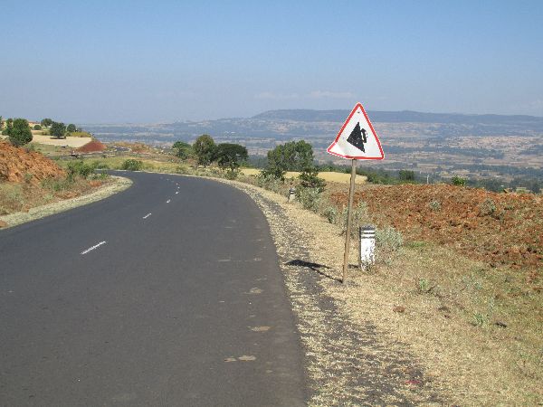
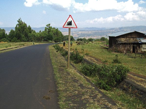
Over
the next 15 or so kilometers the road wound down through the hills, dropping almost 400
meters to the Temcha River (2020m) -- a nice 2.5% grade. One of my favor snapshots is the overly dramatic
"descent" sign (left). The sign is intended to be used on a steep
climb (as the one to the right shows), but they hung it in the only orientation
that could show a descent. It is an engineers dilemma if you are only given
signs that show a climb and have to show a descent. On this descent there are
three signs; two hung showing a climb and the third rotated sixty degrees to
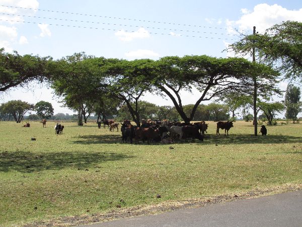
indicate a descent. As we descended, the wheat zone changed to the corn zone and there were also some legume crops. The cattle herds were bigger. It was a beautiful experience; fresh air, miles of visibility, distant mountains, blue skies, grazing cattle, river gullies, and a little warmer -- a perfect temperature. After a brief climb, the road topped a
ridge and it became clear that the Temcha River wasn't the low point. There was
more gradual downhill for another 30 plus kilometers and with a 200 meters vertical
drop to a
flat section -- still at an elevation of 1800 meters. By this point it was
starting to get hot. |
|
|
 |
  Dembecha
(2010m)
is the first big town in the basin. It seemed prosperous and was noticeably the
friendliest town of our excursion so far. People were lively and in a great mood
-- it was infectious.
There were a lot of "welcomes" and other words of encouragement and none of the
requests for money that had been more the norm. We were ready to
stay. Dembecha
(2010m)
is the first big town in the basin. It seemed prosperous and was noticeably the
friendliest town of our excursion so far. People were lively and in a great mood
-- it was infectious.
There were a lot of "welcomes" and other words of encouragement and none of the
requests for money that had been more the norm. We were ready to
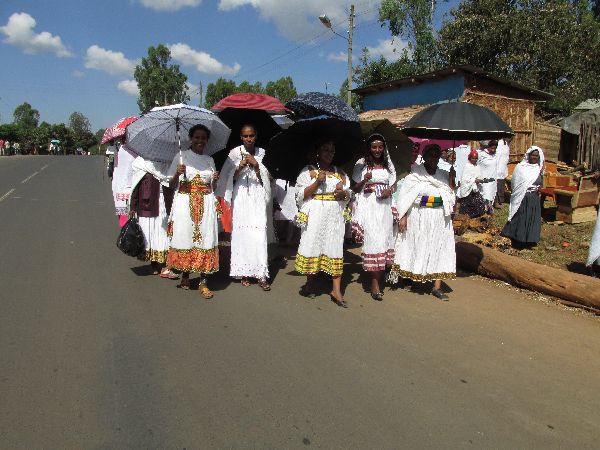
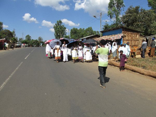
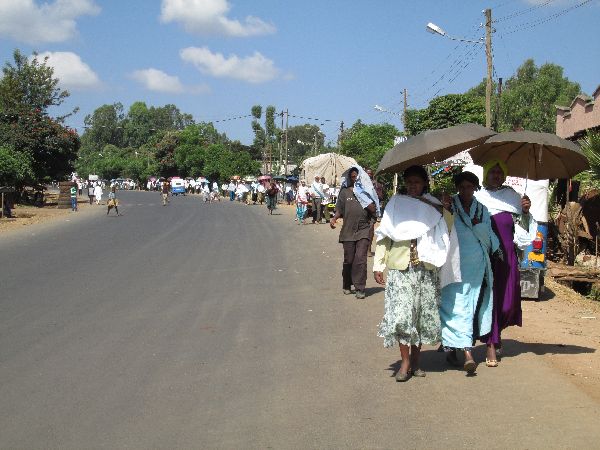
stay.Halfway through
town there was a stream of well dressed women along the road. They had their
own photographer taking a lot of pictures, so we joined in recording the event.
We never were quite
sure what was being celebrated. A wedding? A christening? Some other life event? |
 |
|
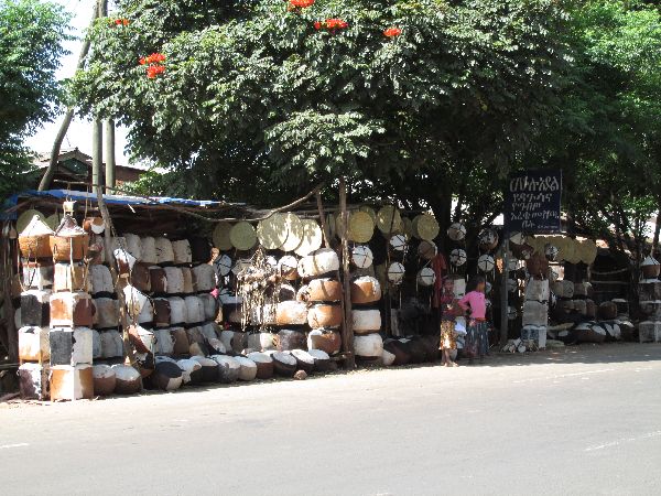 |
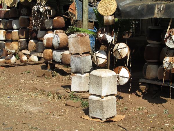
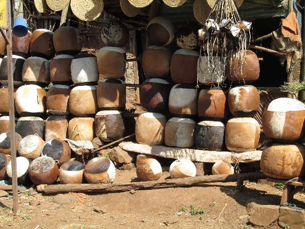 With
all of the cattle in the area it is logical that there would also be a leather-craft industry. There are a dozen sellers along the road displaying their goods,
which included stools, pillows, food storage and carrying containers (some as
tight as Tupperware), tables and drums. They were only momentarily tempting
as souvenirs -- most would be very awkward to carry even a kilometers on a
bike, let alone hundreds. With
all of the cattle in the area it is logical that there would also be a leather-craft industry. There are a dozen sellers along the road displaying their goods,
which included stools, pillows, food storage and carrying containers (some as
tight as Tupperware), tables and drums. They were only momentarily tempting
as souvenirs -- most would be very awkward to carry even a kilometers on a
bike, let alone hundreds.As we left town there was a veterinary
project at work checking on the health of a herd of cattle. |
 |
|
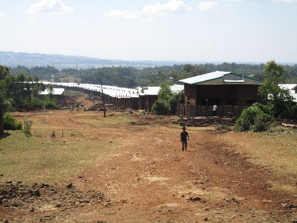 |
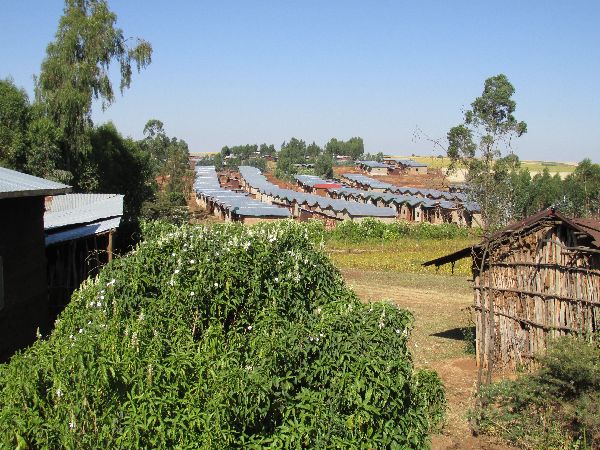
Similar to what we had
seen earlier in Amanuel, Dembecha had a large new housing project, with similar
lines of buildings and reflective corrugated zinc roofs (left). When you
consider that 45% of
Ethiopia's population is under 15 years old and there is a three percent annual
population increase, the constant need for more housing, schools, health care,
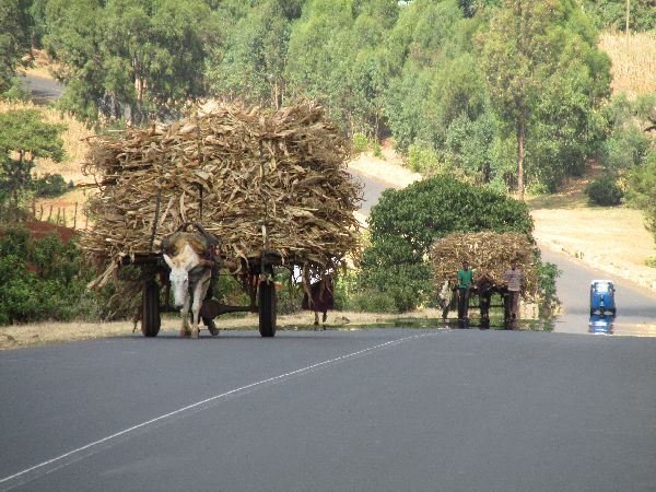
and jobs becomes clear. On the outskirts of Dembecha, heavily loaded donkey carts were
bringing firewood in from the countryside (right). |
 |
|
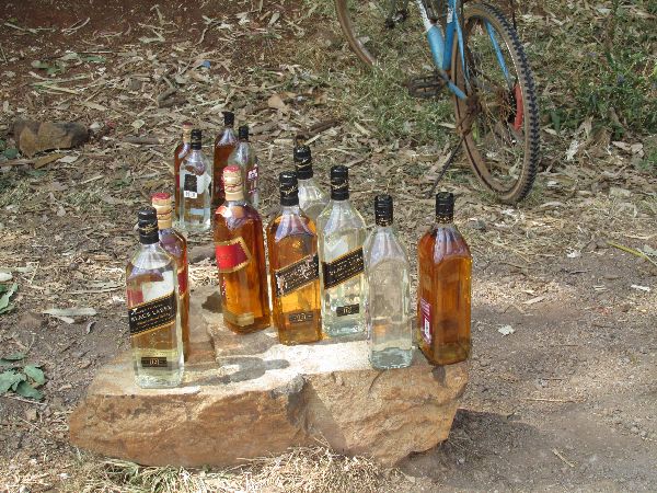 |
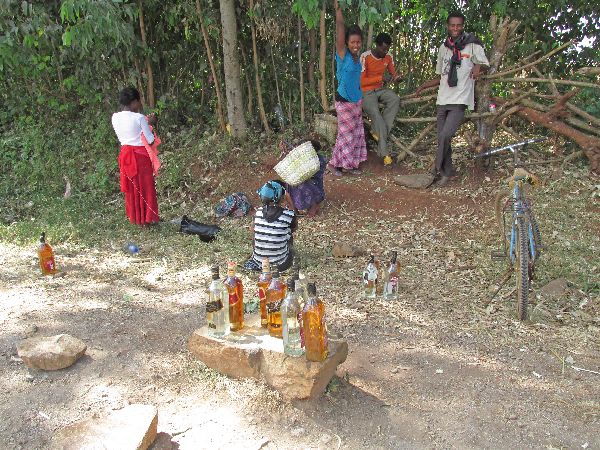
The next production
specialty we came upon was Katikala -- "Ethiopian vodka".
At 78 proof it can make for a stiff drink.
Communication with the sellers was imperfect, but as best I can tell it is made
with corn and barley. I later found recipes that included wheat flour, sorghum flour,
corn flour, millet flour, red teff flour, barley and hop leaves. Katikala is brewed in
many rural communities in Ethiopia,
but this area claims to produce a unique Katikala, made from a special local recipe
-- it might have honey in it. Like so much of the commercial
life
in the country, we didn't pass just one Katikala seller. After the first one there were probably a
dozen more in the next kilometer and then they disappeared
as fast as they began. |
 |
|
 |
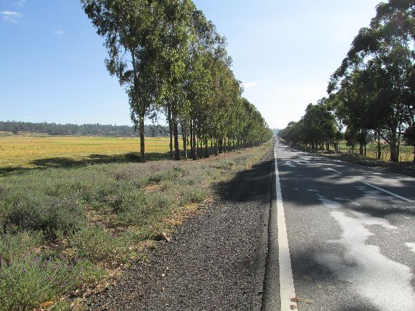
  From
Dembecha to Yechereqa we continued to marvel at the big landscape, big sky,
colors and textures of the fields and
the nearly perfect road -- flat, flawless and very little traffic. From
Dembecha to Yechereqa we continued to marvel at the big landscape, big sky,
colors and textures of the fields and
the nearly perfect road -- flat, flawless and very little traffic. |
 |
|
 |
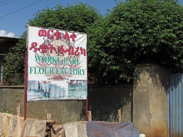
By the time we reach
Jiga (1840m) it was time for a major refueling stop. One could joke about the restaurant
/ bar that we settled in to as being "the best in town" -- we were told as much --
but it was also the only restaurant in town as best as we could determine. As was often the case, there were other patrons but we seemed to be the only
ones ordering and eating food. Consuming brew seemed to be much more the
norm. The food was great so we have no cause to dispute its reputation and the judgment of those who gave us advice. Industry is small towns usually takes the form of craftsmen building furniture, blacksmiths, weaving or old lumber grinding mills, but from the sign it looks like Jiga has a modern flour mill. |
|
|
|
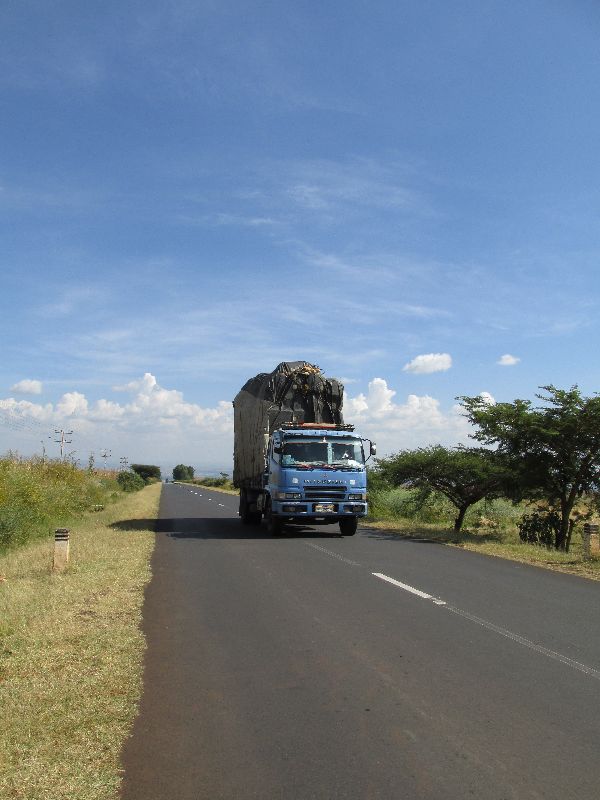
 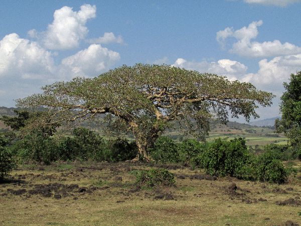 Someplace between Yechereqa and Finote Selem this section of road reaches its low
point, just below 1800m. Still twice as high as much of Africa, it looked a
lot more like the "classic Africa" with flat-top acacia trees, and sorghum, millet and sunflowers
fields. Someplace between Yechereqa and Finote Selem this section of road reaches its low
point, just below 1800m. Still twice as high as much of Africa, it looked a
lot more like the "classic Africa" with flat-top acacia trees, and sorghum, millet and sunflowers
fields.The overloaded goods truck (far right) was another classic African scene. |
 |
|
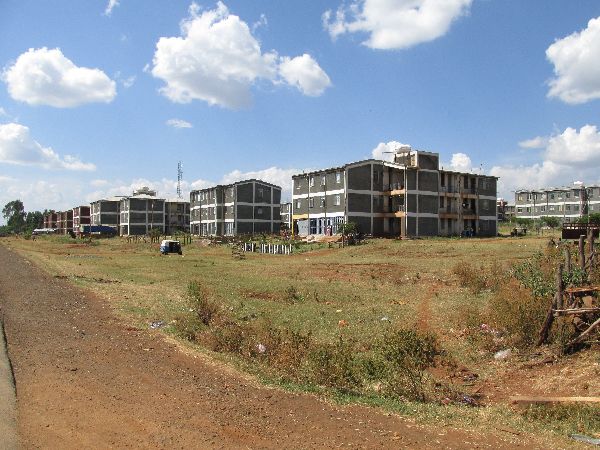 |
On the outskirts of Finote Selem (1860m)
there was a multistory, cement-slab housing project (left). We had seen other
residential developments seemingly built from the same blueprints. The
bicycles (or their riders) still attracted a lot of attention from young
bystanders. A lot of these contacts were friendly and interactive, but they could also range to the other extreme of being
aggressive and intimidating. Some sections were friendlier than others, but
there didn't seem to be any strong pattern to the individual courteousness of the
kids. And some kids would initially be very polite and quickly turn to being
aggressively demanding. |
 |
|
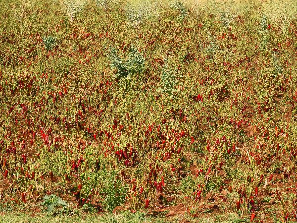 |
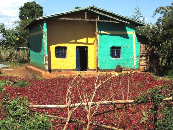
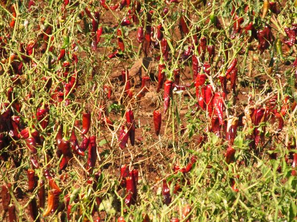 The warmer temperatures of
the lower elevations must be conducive to growing peppers. The fields of red peppers
in this area seemed to be bountiful, so this would be the source of "wats" --
the very spicy dishes in the Ethiopian cuisine. The warmer temperatures of
the lower elevations must be conducive to growing peppers. The fields of red peppers
in this area seemed to be bountiful, so this would be the source of "wats" --
the very spicy dishes in the Ethiopian cuisine.The ripe peppers a laid out
around the house to dry. The look like bright red carpets. The photo to the
right only shows about a quarter of the pepper carpet at this house. There were
dozens of other similar spreads. |
 |
|
 |
Next
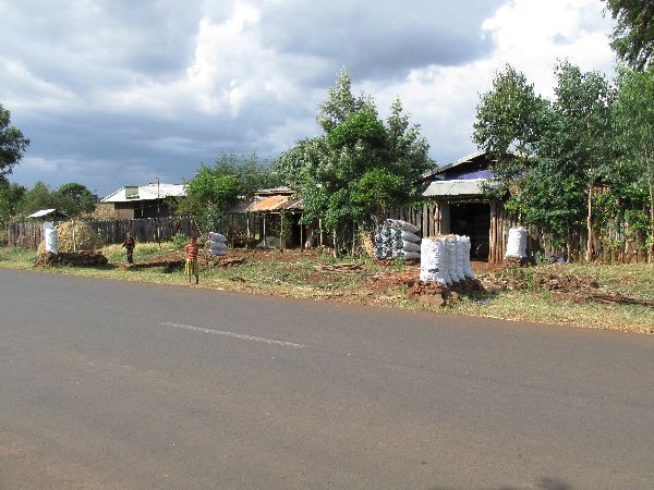
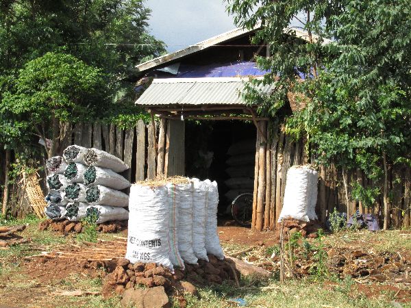
on the product specialization tour is Mankusa (2000m). It could be called "charcoal village".
Although it's a town that doesn't make it onto most maps it seems to be the
charcoal capital of the area. Dozens of houses along the road have white bags of
charcoal stacked adjacent to the road and more in reserve stacked next to the
houses. The industry is all that much more curious because 80% of the area
within a 10km radius of the town (yellow line on the image to the right) is
agricultural and treeless (darker green are trees). Much of the tree cover is around the town and villages where it is critical
to maintaining the
livability of the environment. Charcoal production doesn't seem like an
advantageous or sustainable industry in this area. I will keep asking question
to find out how the pieces fit together. |
|
|
 |
  On
highway 3, the end of the basin is Bure (2100m). On
highway 3, the end of the basin is Bure (2100m).
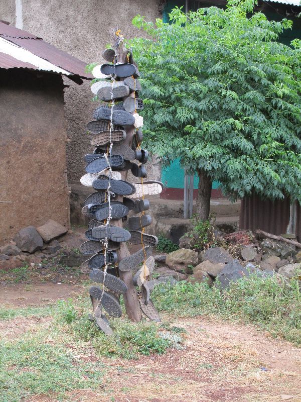
Bure is a crossroads commercial center in transition. Some roads were dirt; some were in the process of being paved with cobblestones. For a few roads the process of paving had already been completed. One of the more intriguing sights in Bure was a sculpture of shoe soles (right) which was the sign that there was a shoe repair shop at the house. Our experience with the people and continuing gorgeous scenery had made this the best day so far. |
 |
|
|
(South: Gohatsion to Dejen)
|
|||
 |
|||
|
|
Unique Programs To Special Places For Memories Of A Lifetime!
"Hosted by
DreamHost - earth friendly web hosting"
|
|