|
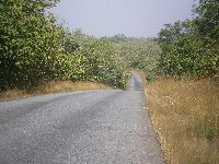
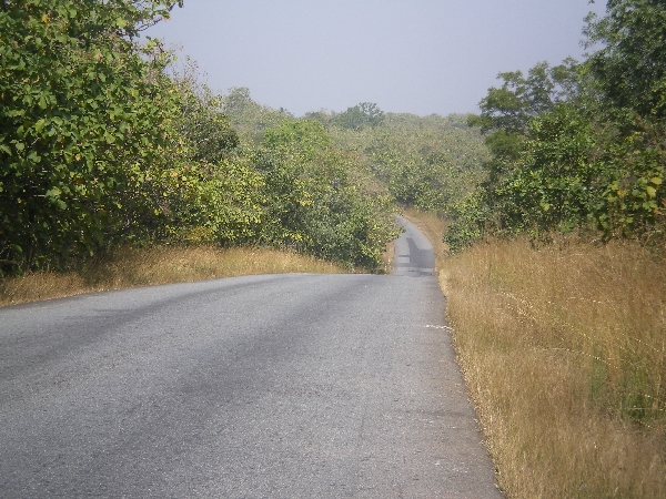
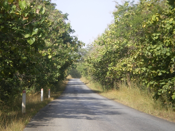
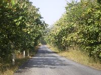 Approaching Sokodé, and to the north, the countryside gets a bit more of a
roll to it, it becomes increasing sparsely populated and the road cut become
narrower.
All of this works favorably for creating a more esthetic traveling
experience. The traffic volume is so low that is sometimes feels like
a world-class bike path. Approaching Sokodé, and to the north, the countryside gets a bit more of a
roll to it, it becomes increasing sparsely populated and the road cut become
narrower.
All of this works favorably for creating a more esthetic traveling
experience. The traffic volume is so low that is sometimes feels like
a world-class bike path.
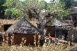
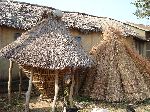
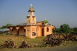
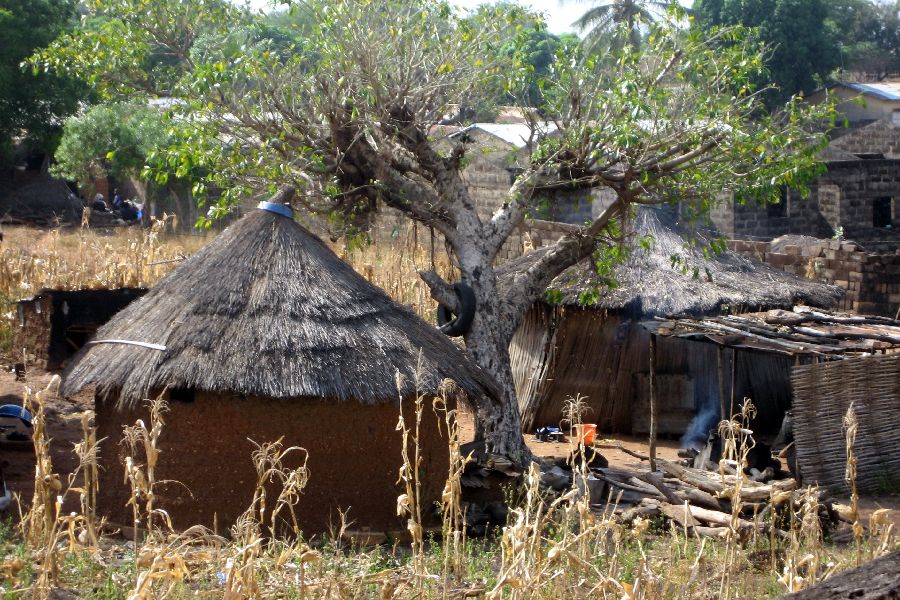
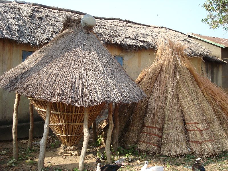
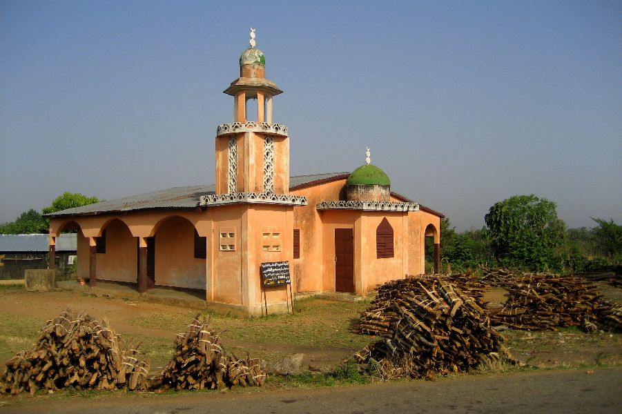
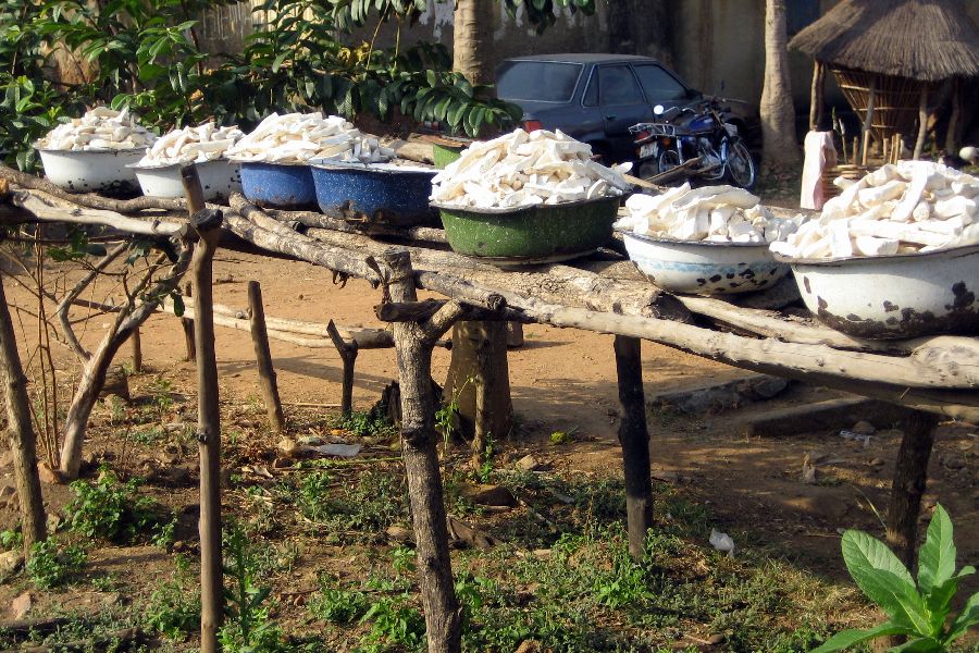
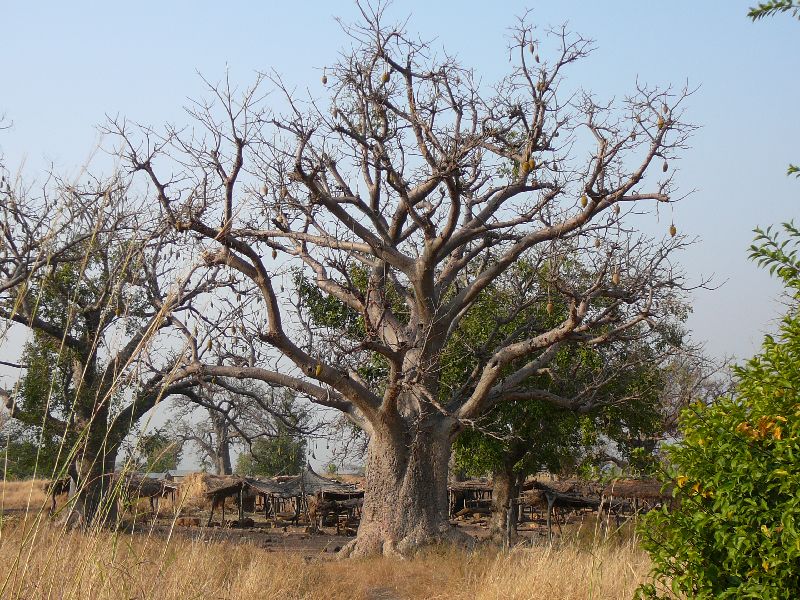
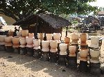
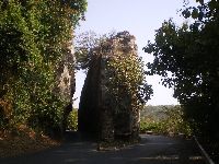
The village construction in the area used a lot of local
materials for constructions. A frequent exception would be the town mosque.
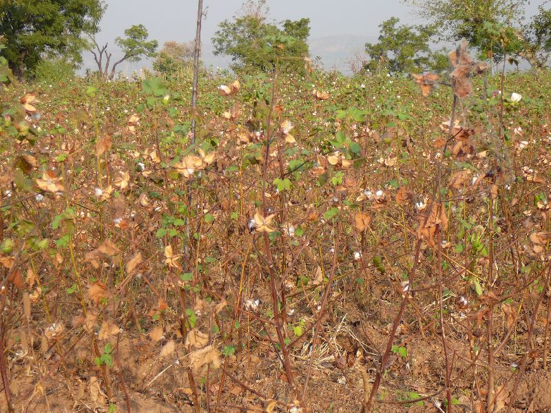
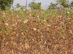 The lack of
grain crops and the presents of cotton suggests that the soil is generally not very fertile. The lack of
grain crops and the presents of cotton suggests that the soil is generally not very fertile.
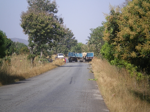
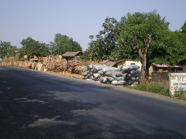
 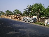 When
a village had a lot to sell along the side of the highway it was generally
bundles of firewood and backs of locally made charcoal. Big trucks ply
the highways, stopping in the villages When
a village had a lot to sell along the side of the highway it was generally
bundles of firewood and backs of locally made charcoal. Big trucks ply
the highways, stopping in the villages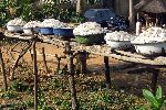 to buy firewood and charcoal to take
it to the bigger towns and cities. Some of it will even make it all
the way to Lome on the coast. to buy firewood and charcoal to take
it to the bigger towns and cities. Some of it will even make it all
the way to Lome on the coast.
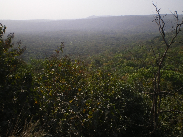
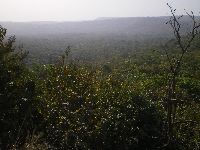 Eventually
the hills that had running north-south along the western border of the country veer to
the northeast and bisect the country. This offers one of the benefits
of most hills -- views and vistas, lower temperatures and drier air, though
you can still see the humidity blanketing the low lands. Eventually
the hills that had running north-south along the western border of the country veer to
the northeast and bisect the country. This offers one of the benefits
of most hills -- views and vistas, lower temperatures and drier air, though
you can still see the humidity blanketing the low lands.
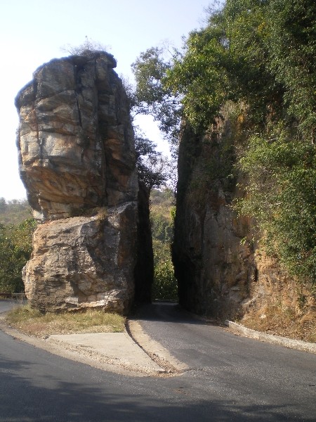
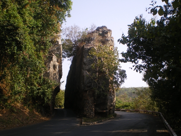
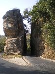  Half way up
(or down, depending upon what direction you are headed) the ten kilometers of hill
to Bafilo Pass is the Faglia d'Alédjo. It is a fun little feature
where the road is split with one lane going on each side of a monolith.
It is probably one of the most photographed single features in Togo. Half way up
(or down, depending upon what direction you are headed) the ten kilometers of hill
to Bafilo Pass is the Faglia d'Alédjo. It is a fun little feature
where the road is split with one lane going on each side of a monolith.
It is probably one of the most photographed single features in Togo.
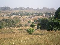 At the top of the hill, Bafilo Pass, the vista opens up for a view of the
village of Aledjame. Having climbed out of the lowlands the
temperature and humidity were markedly less and more
At the top of the hill, Bafilo Pass, the vista opens up for a view of the
village of Aledjame. Having climbed out of the lowlands the
temperature and humidity were markedly less and more comfortable on the
plateau. Even sweeter for the bicyclist is it is down hill from Aledjame. In our situation, going northbound, it was sixteen
kilometers of decent to Bafilo town. comfortable on the
plateau. Even sweeter for the bicyclist is it is down hill from Aledjame. In our situation, going northbound, it was sixteen
kilometers of decent to Bafilo town.
|