Ibike Korea People-to-People Program
 Photo essay: Daegu
to Busan
Photo essay: Daegu
to Busan
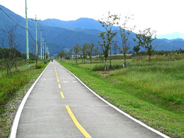
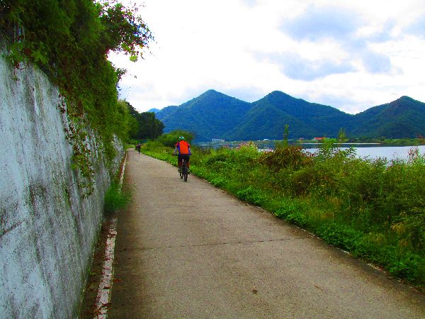
Daegu to Busan ( mi, km) The lower Nakdong River Trail
Points of Interest: Gangjeong Goryeongbo (dam),
Dalseongbo, Hapcheon Changyeongbo, Changnyeong Hammanbo,
Ilbungsa (off the trail)
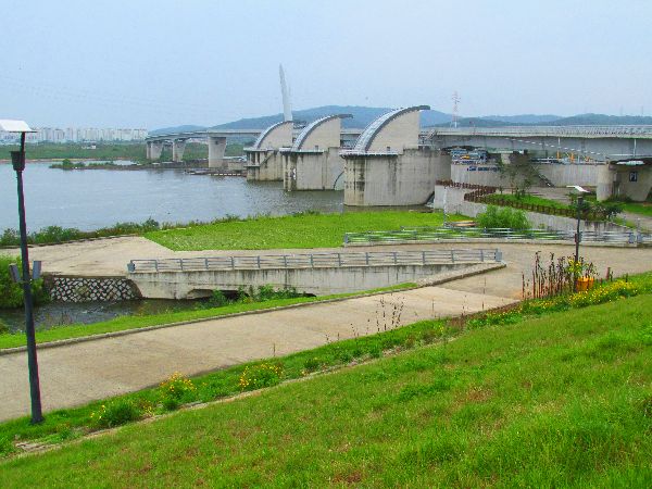
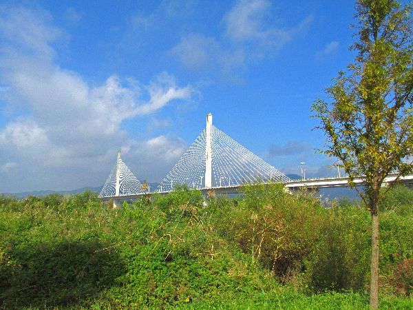
 Near
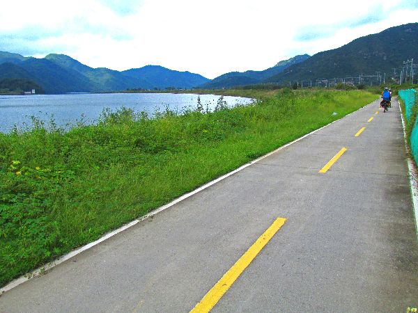
Daegu, the Nakdong River Trail route crosses the river to the west bank, on the Gangjeong
Goryeongbo (dam) (left).
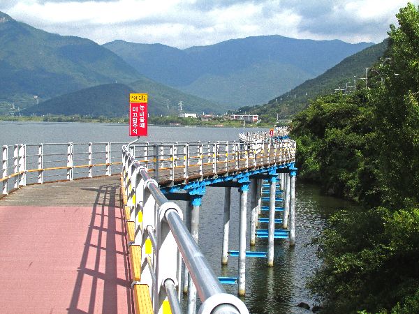
Near
Daegu, the Nakdong River Trail route crosses the river to the west bank, on the Gangjeong
Goryeongbo (dam) (left).Where the shoreline is steep, probably in part because of the water backed up in the lake behind the dam, a trail viaduct has been built to get past the hill.
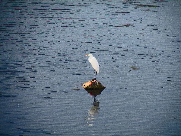 The
weather was changing from dizzily to rainy at this point. Even the egret
hunkered down in the rain.
The
weather was changing from dizzily to rainy at this point. Even the egret
hunkered down in the rain.
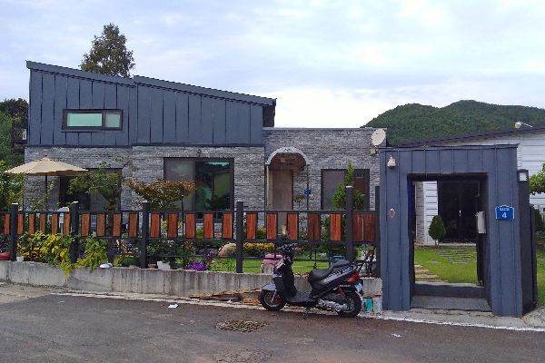
Due to lousy weather, there are no further pictures for 100km, including Dalseongbo (dam), and Hyeonpung. Over a bridge, before Dalseongbo the trail crosses the river again, to the east bank.
It is in this section that you cross the route between from Cheongdo to Goryeong.
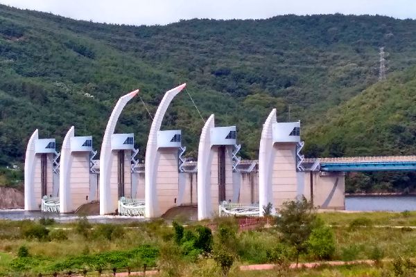
 At Hapcheon
Changnyeonbo (dam)
the route utilizing the dam to again cross the river.
At Hapcheon
Changnyeonbo (dam)
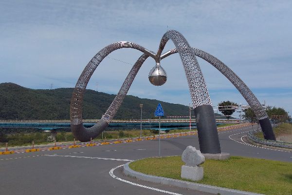
the route utilizing the dam to again cross the river.Typical of the Korean Water Authority, Four Rivers Projects, the site improvements include public art / sculpture.
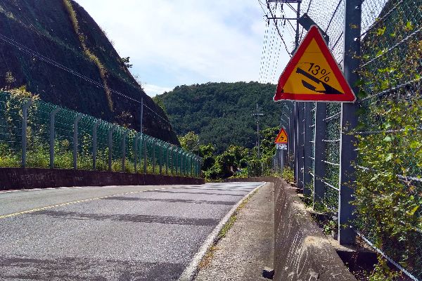
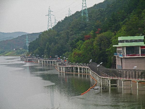
 Following
the shoreline, the route encounters a precipitous hill. The signs indicate that
it is a13% grade. It is not consistent, but it is in that range for long enough
to get most cyclist to abandon their saddles. Consistent with most hills, there
is a rewarding view from the top, and from whatever side you approached it,
there is a precipitous, brake burner, grade down the other side. Too steep to be
comfortable for some people.
Following
the shoreline, the route encounters a precipitous hill. The signs indicate that
it is a13% grade. It is not consistent, but it is in that range for long enough
to get most cyclist to abandon their saddles. Consistent with most hills, there
is a rewarding view from the top, and from whatever side you approached it,
there is a precipitous, brake burner, grade down the other side. Too steep to be
comfortable for some people.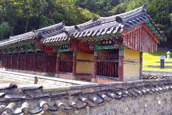
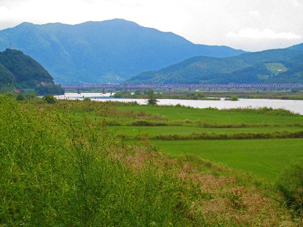
 At
this point the route turns east and a kilometer later crosses the Nakdong on the Bakjingyo (bridge).
At
this point the route turns east and a kilometer later crosses the Nakdong on the Bakjingyo (bridge).If instead you turn west, you will be rewarded with history, agriculture and culture.
The first point of interest is a monument to some generals.
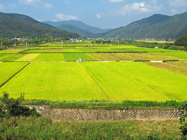
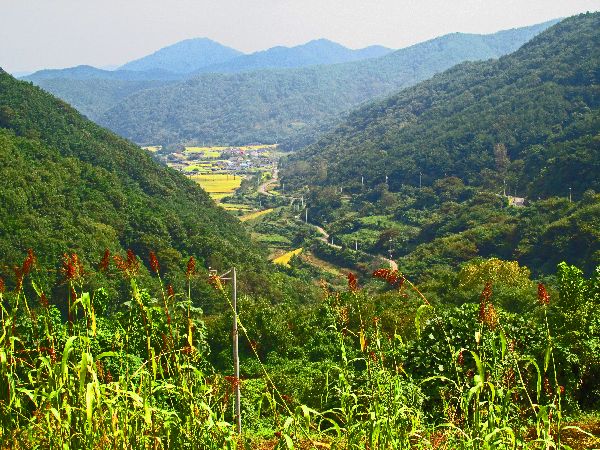
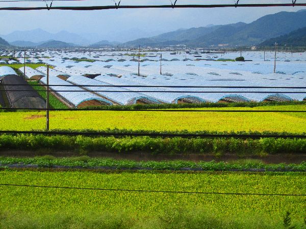
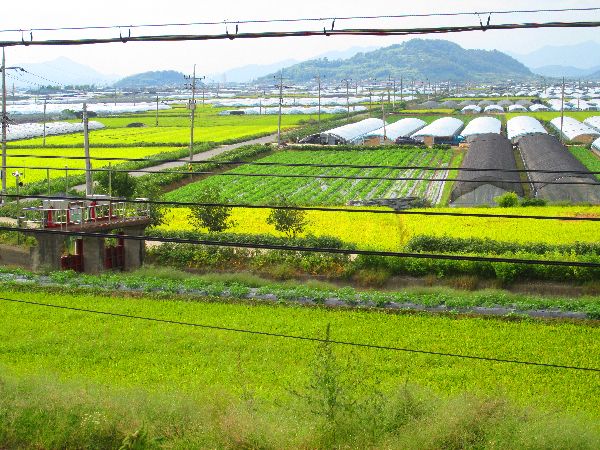
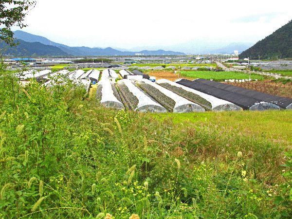
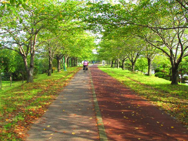
Continuing to the west leads to a very typical Korean valley, with large flat fields of rice, surrounded by forested hills.
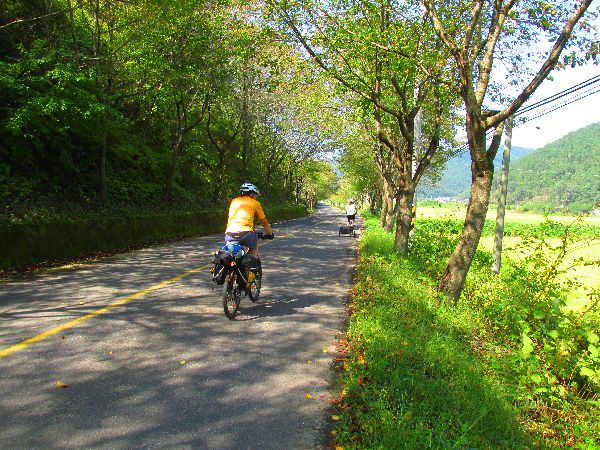
Many of the roads are lined with cherry trees and traffic is raw, so conditions are idea for relaxing and motion meditation.
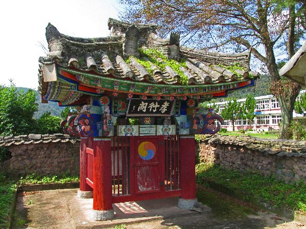
 It
is common to see small pavilions covering historical markers along the road.
There must be tens of thousands of them in the country. They are likely to be
hundreds of years old, continually maintained, and rarely vandalized.
It
is common to see small pavilions covering historical markers along the road.
There must be tens of thousands of them in the country. They are likely to be
hundreds of years old, continually maintained, and rarely vandalized.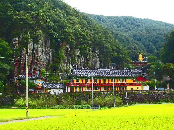
 In 727, during the reign of Silla King Seongdeok, Hyecho Sunim, a monk from
Silla, had a dream during a pilgrimage to China and India. Upon returning, the
monk told the King about his dream to build a temple, in a place surround by
beautiful rock, to console the spirits of the dead. He found the place, built
the temple and called Seongdeoksa, after the great King.
In 727, during the reign of Silla King Seongdeok, Hyecho Sunim, a monk from
Silla, had a dream during a pilgrimage to China and India. Upon returning, the
monk told the King about his dream to build a temple, in a place surround by
beautiful rock, to console the spirits of the dead. He found the place, built
the temple and called Seongdeoksa, after the great King.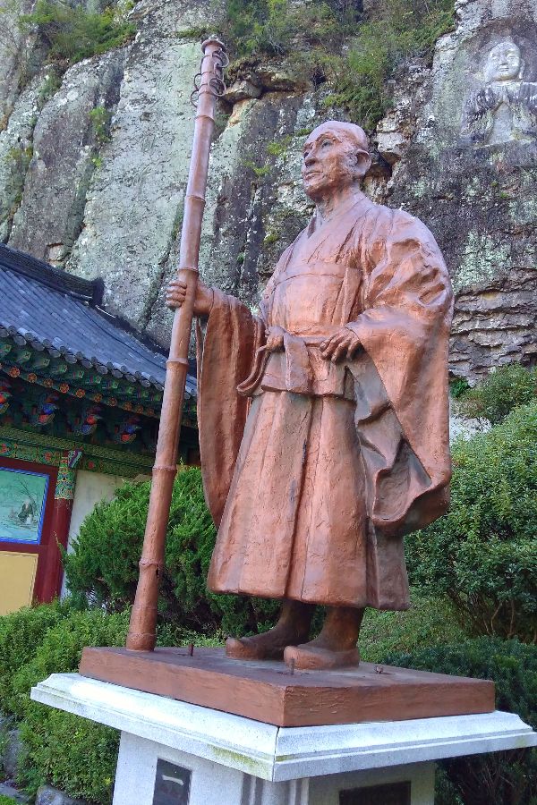

 Since its initial
construction the temple burnt down and was rebuild several times, but eventual
people started to feel that the area was too sacred to build a temple, and it
stayed vacant for a long time. In 1987, Haeun Sunim was advised to build here
again. He felt that the location had very strong fire energy. To avoid future
fires Haeun Sunim decided to construct a large cavern for the main pray hall.
Since its initial
construction the temple burnt down and was rebuild several times, but eventual
people started to feel that the area was too sacred to build a temple, and it
stayed vacant for a long time. In 1987, Haeun Sunim was advised to build here
again. He felt that the location had very strong fire energy. To avoid future
fires Haeun Sunim decided to construct a large cavern for the main pray hall.
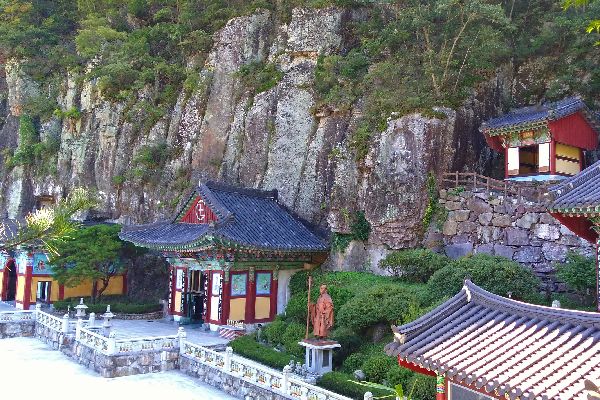 With this the temple was renamed Ilbungsa. The temple is the largest Buddhist
cave hall in Asia, according to the Guiness Book of World Records. People from
all over the country make pilgrimage to Ilbungsa.
With this the temple was renamed Ilbungsa. The temple is the largest Buddhist
cave hall in Asia, according to the Guiness Book of World Records. People from
all over the country make pilgrimage to Ilbungsa.
 Ilbungsa
only has some of the characteristics of a classic Korean temple:
Ilbungsa
only has some of the characteristics of a classic Korean temple:The Iljumun, One Pillar Gate, is sort of lost among a parking lot and entrance road.
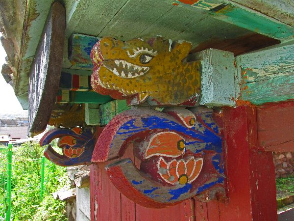
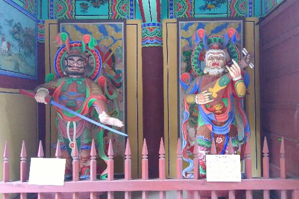
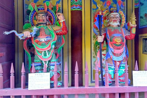
There is a Guardian Gate, with the four divas. The bell pavilion is set above the Guardian Gate, but it doesn't have the usual variety of drums and gongs.
If there is a Gate of Non-duality, it is not distinct. There is a nine-story stone pagoda in a traditional location in front of the main prayer hall.
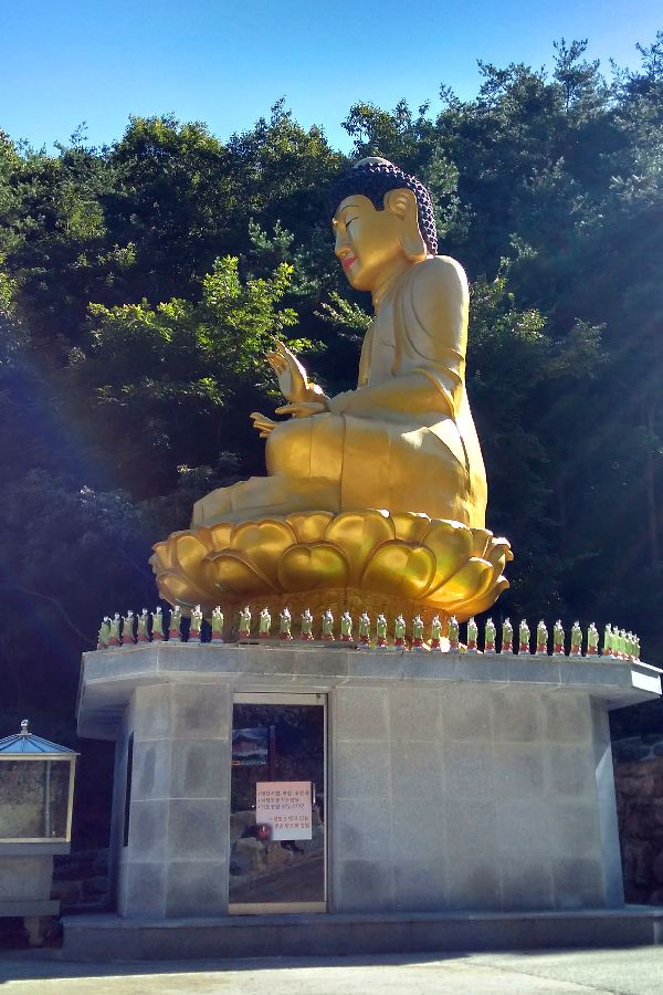
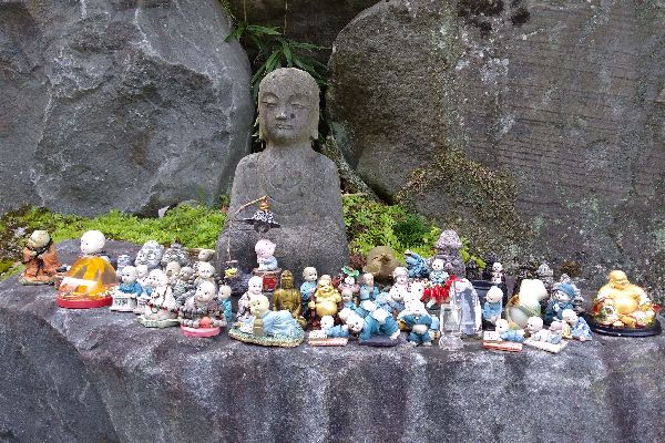
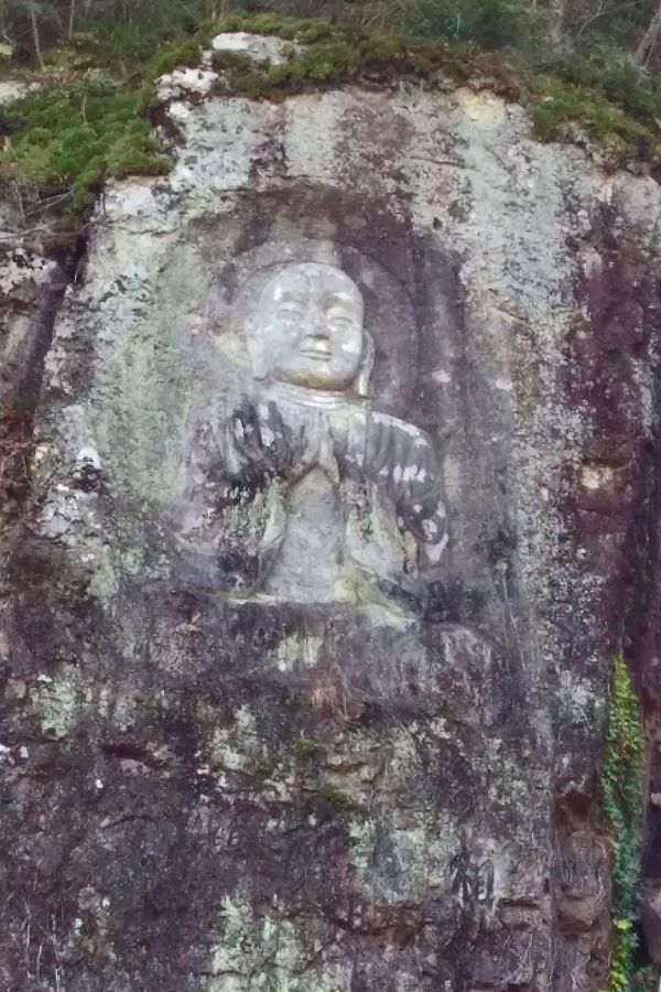
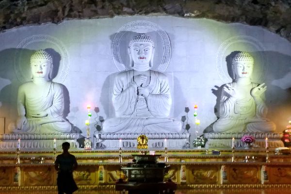
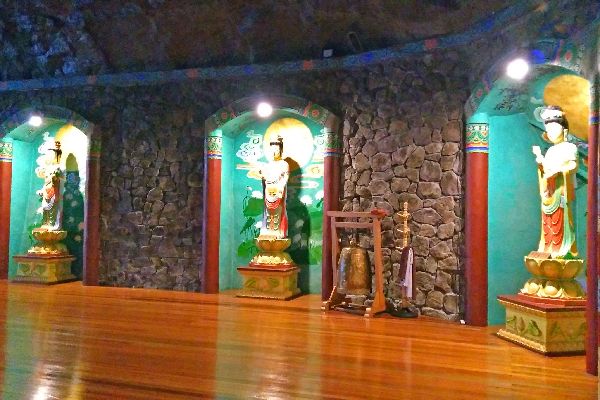
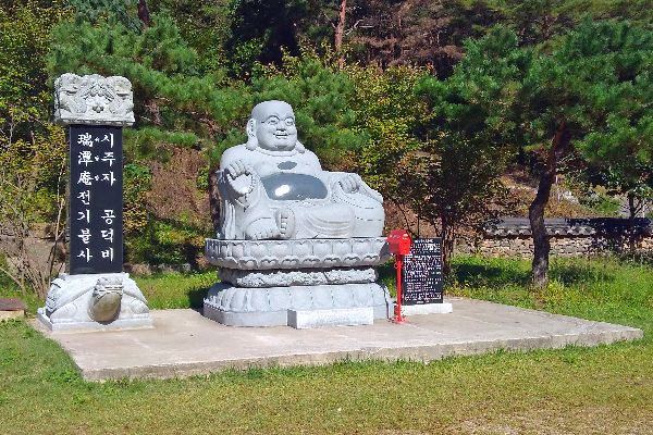 Also
on the grounds are a variety of Buddha; golden (left), free-standing stone, plastic
(left), reclining, and
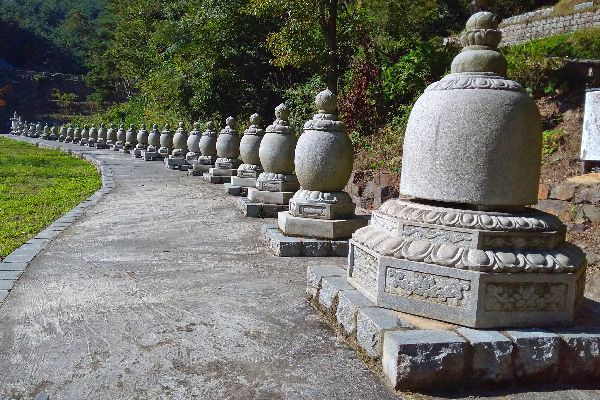
carved into the rock face of a cliff (right), a temple to the mountain god with its
signature tiger, and a long line of stupa (below).
Also
on the grounds are a variety of Buddha; golden (left), free-standing stone, plastic
(left), reclining, and
carved into the rock face of a cliff (right), a temple to the mountain god with its
signature tiger, and a long line of stupa (below).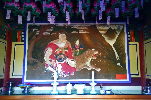
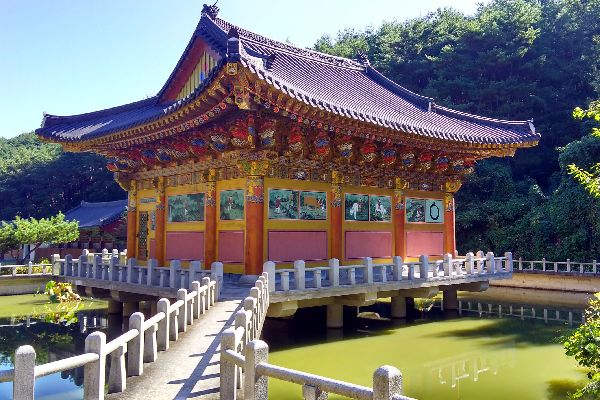
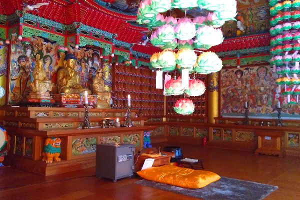 Up
the hill from the main temple is a hermitage, in a very pleasant, picturesque
location, over a pond, and nestled at the base of a hill and forest. The
interior is very beautiful as well.
Up
the hill from the main temple is a hermitage, in a very pleasant, picturesque
location, over a pond, and nestled at the base of a hill and forest. The
interior is very beautiful as well.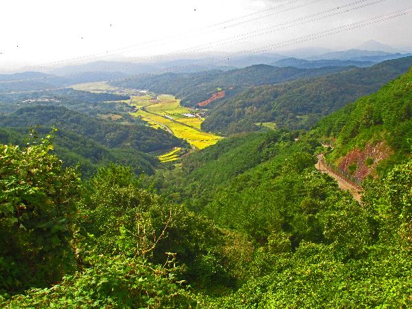
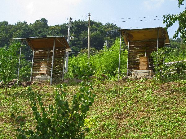
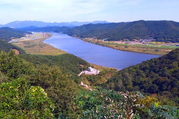
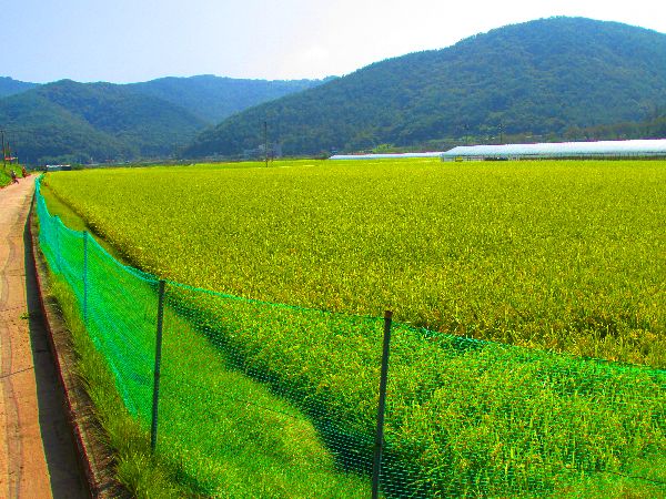
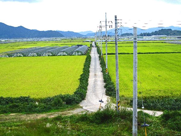
 At
the head of the valley, the pass, if you look down to the west (left) you see
rice fields far below, and if you look down to the east (rights) you see rice
fields far below. On the sloops near by are a half dozen stacks of nicely
sheltered beehives.
At
the head of the valley, the pass, if you look down to the west (left) you see
rice fields far below, and if you look down to the east (rights) you see rice
fields far below. On the sloops near by are a half dozen stacks of nicely
sheltered beehives.Continuing to the west connect to the route from Hoeyang to Jinju.
The alternative is only a kilometer of two longer and follows rural roads. For most people it is probably faster.
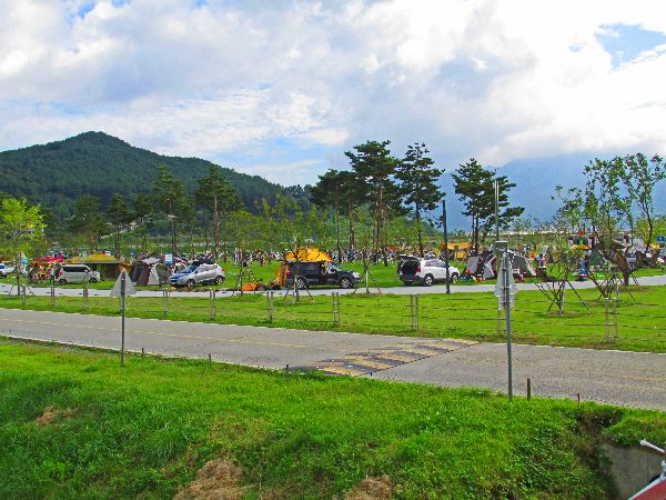
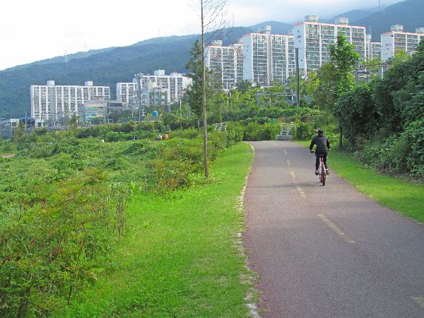
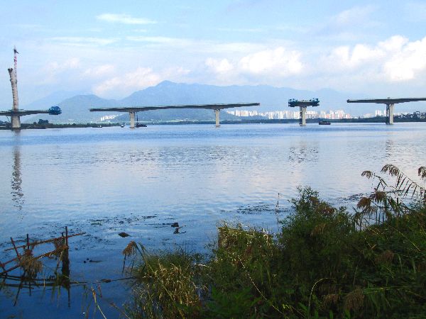
 As
the trail approaches Busan indications of the needs of people are more common.
From left to right: Much of the flood plain is developed for recreational
activity, housing towers come up to the edge of the rivers buffer zone, bridges
cross the river, and an additional bridge is being built (2016).
As
the trail approaches Busan indications of the needs of people are more common.
From left to right: Much of the flood plain is developed for recreational
activity, housing towers come up to the edge of the rivers buffer zone, bridges
cross the river, and an additional bridge is being built (2016).
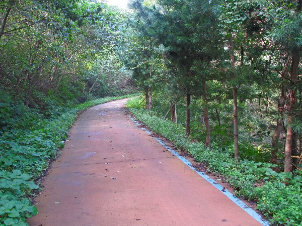
As the trail passes the Sasang district of Busan the trail finds in a nice canopy of trees to duck under. What is not apparent is that there are busy wide highways on both sides of the berm that the trees are on.
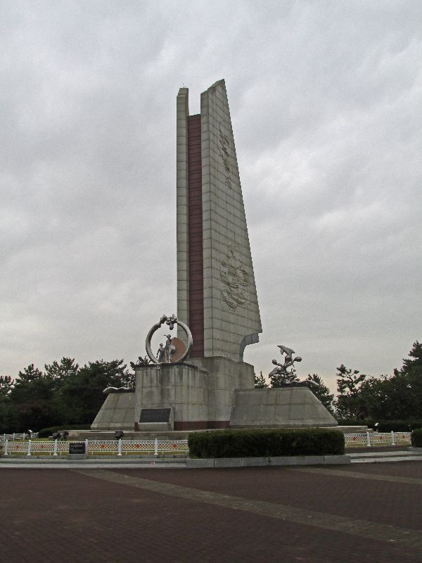
There is also a memorial monument in the plaza.


 Please
contact us if you would like to be added to
Ibike's mailing list or have questions, comments, corrections or criticism. (Also, please let us know how you learned about us and
found this site.) Privacy policy.
Please
contact us if you would like to be added to
Ibike's mailing list or have questions, comments, corrections or criticism. (Also, please let us know how you learned about us and
found this site.) Privacy policy.
![]() IBF Homepage
IBF Homepage ![]() Ibike Programs
Ibike Programs
![]() Ibike Schedule
Ibike Schedule
![]() Search
Search